The more observant amongst you will have spotted that some of my ride reports/Blogs have a corresponding map attached, created using
Tracklogs. PC based piece of software that allows you to create new routes during those idle, wet, long dark winter evenings when you dream of some tasty singletrack to attack in the better weather. You can then upload these 'routes' into your GPS unit which'll dutifully guide you along your chosen trail from the convenience of your bars without the constant need to stop and unroll that gradually disintigrating map you just bought. Not only that, one your legs are tired, your grin is large, your bike looks like a chocolate brownie and the route is complete, it'll have stored all your route data (speed, distance, altitudes, etc) ready for reviewing back on your PC !
Most of the major GPS software packages are listed below and as their websites lists all their features I won't bore you with the technicalities, but I will highlight what found were their main points;
- Anquet Is very similar to Tracklogs but I found the PC route making process fiddly and complicated as you need to create 'legs' first that are then combined to make a 'route'. However, with hindsight this is kinda useful as common sections of your local trails can be created once and then easily re-used when you create a slightly different overall route. Overall, I didn't find the s/ware intuitive or easy to use.
- MemoryMap Is used by most of the biking/walking magazines but when I was looking they didn't have a demo version available. However, it does offer all the features available in the other packages. Perhaps someone can chime in and give us the gen...
- Tracklogs Was the most intuitive s/ware I demo'd that allows routes to be quickly created. It also has a bunch of features that I thought were useful, more detail below. The pricing structure also appealed more than Anquet. It's now also becoming more widely used on tinterweb - Rob's now also using it ;-)
- GPSU - Freeware, basic software that doesn't come bundled with maps - these are downloaded separately from a number of possible sources which makes the installation and configuration more cumbersome than the 'pay' packages above. One bonus of this s/ware is that it is able to convert routes between different file formats, so if you located a route on the web that's Anquet based then GPSU can convert it to say Tracklogs and use or modify it yourself.
All the packages now have demo versions available allowing you to evaluate the software for yourself. Though note that certains functionality may not be available...
Maps : All the 'pay' packages listed above have different pricing structures for their mapping converage and it's important to get a handle on this prior to purchasing. It's also worth pointing out that maps are available in differnt scales and OS types to better match your needs. Personally, I've had no problems with 1.50k scale maps and have the whole of the UK covered for a reasonable cost. Rob however has taken a different approach and uses the more detailed 1.25k maps and just buys an area at a time. To cover the whole of the UK this way would be very costly indeed.
Routes : Online routes can be downloaded from the software website above or try these;
MountainBikeRides,
MTBRoutes,
NorthernRoutes (which is the most comprehensive I've found to date),
RouteSource, etc.
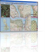
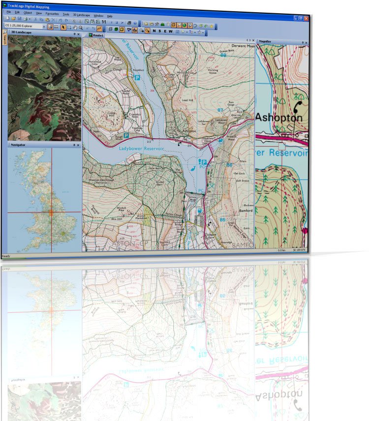
Tracklogs : Why did I select this particular software ?
- Routes : It's very easy to create routes/tracks by adding more track points or waypoints, all of which can be easily modified or removed later. Routes can easily be annotated to include key navigation comments which are then available on the 'route card', see below. You may also choose to add icons to your map that highlight common trail obstacles such as styles, gates, pubs, hazards which help to make the map useful to those not familiar with the trail.
- Evelation Profile : Once a route is starting to come together you can start to see an elevation profile of the route which helps highlight the gradients involved. This may also show your speeds overlaid against the underlying evelation data. I've just started to explore adding additional information to routes such as the trail type i.e. grass, gravel, asphalt, tow-path, etc (all customisable) which can then show up as different colours on the profile - further helping you plan your ideal route.
- Maps : Are all scalable so that you can review a route in it's entirity by zooming out or even quickly centring the map around your route. You may also zoom in on a particular section for more detail. All the information typically associated with a 1.50k OS map is available, including the legend.
- Duration, etc : Tracklogs allows you to show speed, distance, elevation, etc data either as recorded from your GPS hardware. Alternatively, you can choose from a number of configurable alternatives within the Naismith Model that easily allow you to show duration times when Walking, MTBing, Road Riding or even Fell Running !
- Route Card : Is a very handy feature ths is available in all routes that can break it into different sections, complete with distances and addtiional notes. These may then be printed on the reverse of your printed map thereby highlighting any difficult navigational areas that the map alone can't show. Your route properties can also be printed which might include a start time, location and any other details you feel are pruduent.
- Printing : Your route can be printed out using the excellent print wizard which is great for selecting (and previewing) the map scale or positioning, etc. Printing also allows for the 'route card' information to be printed on the reverse along with handy route details such as the trail start time, location if a group of you are meeting somewhere unusual. Maps may also be printed without route data overlaid, again to a chosen scale.
- Hardware : The interface to my Garmin eTrex didn't initially require any manual configuration or fiddlin' and was automatically located. The Tracklogs 'transfer' dialogue makes it simple to download and upload routes from all those stored within the GPS unit. I haven't had any issues with compatibilty although one shortfall of the basic eTrex is that it can only handle 124 waypoints per route which means that longer routes are truncated. Tracklogs can even handle this and allows you to break your long route up into shorter routes and stores them separately on your GPS unit. I opted for one of the cheapest unit's Garmin produce (it was on offer) as I figured it'd be less of worry if it broke. Bespoke GPS units also tend to be durable and built for a few knocks whilst outside. PDA & GPS combo's offer more functionality but are more delicate and expensive to replace. Although my unit only cost around £50 it needed a PC interface cable and I also figured that a handlebar mount good, the sum of which almost doubled the price.
- Support : The intial version I installed just happended to coincide with a major new release of the software which contained a few installation problems. All my queries were answered quickly by the developers and over the months I've been using it I've seen regular updates to the software. So this isn't a package that you'll install, get frustrated with, get no response from the developers and wish you'd never purchased.
Some might consider that GPS isn't necessary for MTBing and I'd agree with them up to a point. I've found the device is a great way to keep the ride flowing, particularly along unfamiliar trails and it's also much more accurate than a simple trip computer in recording your speeds, distances, times, etc. If you're riding a loop and become lost then the unit will provide basic directions back to your start point, which has proved useful on occassion! However, as all but the most expensive GPS units don't yet show any basemap detail, then you really should carry a map of the area along with you, even if it's simply printed out from your GPS software.
If you don't own any GPS hardware then I'd highly recommend it but do beware that you'll also end up splashing out on the PC mapping software to help make the most of it. Otherwise it's simply a glorified trip meter !
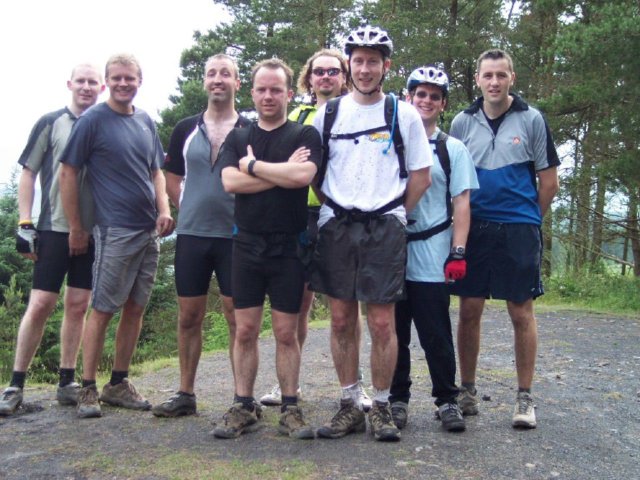
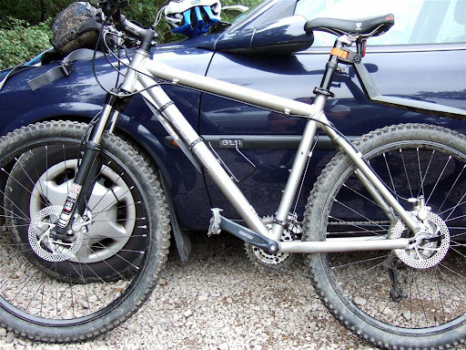
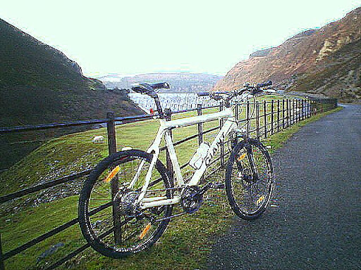
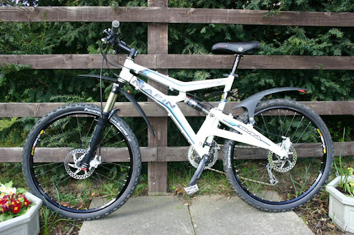
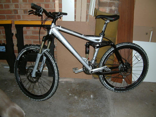
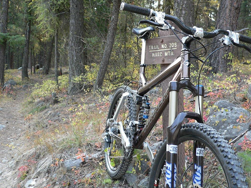
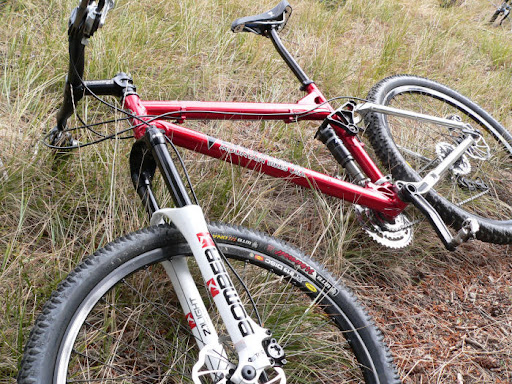
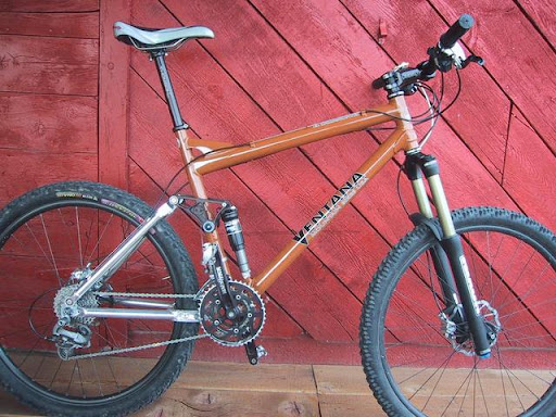
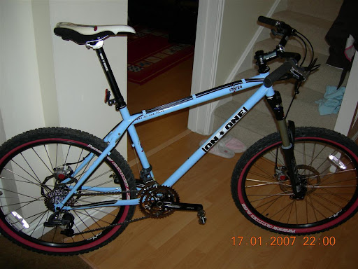
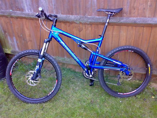
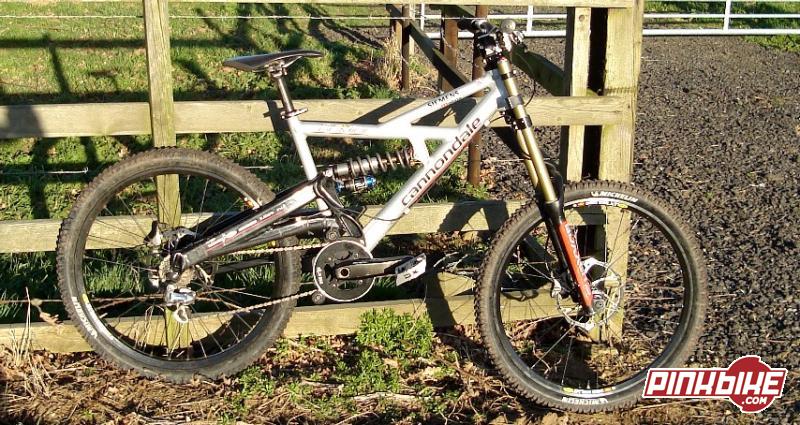
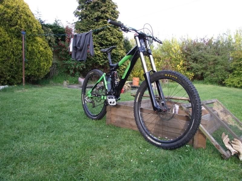
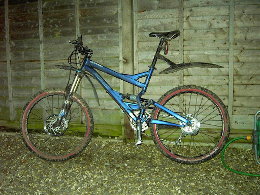
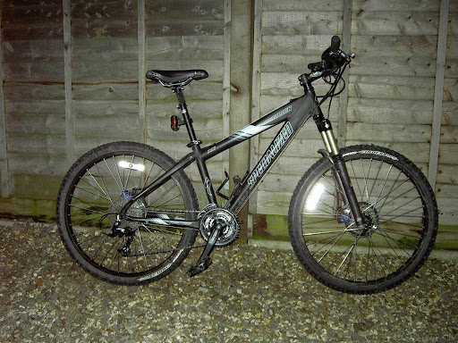
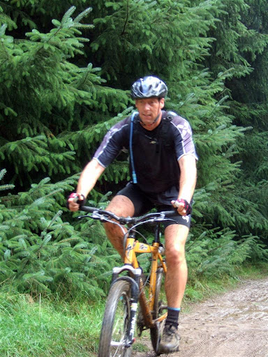
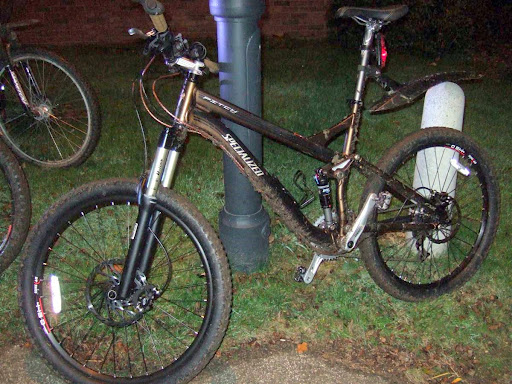
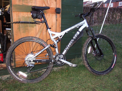
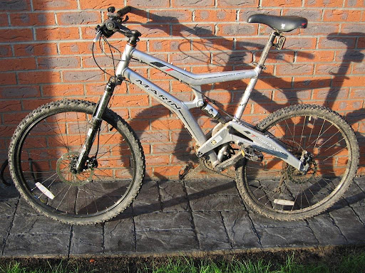
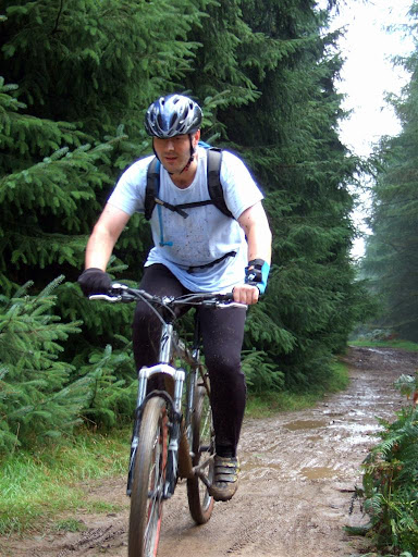
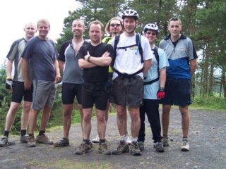 Two days fantastic riding were in order (for some) with a full contingent on The Wall and Penhydd trails on Saturday. I'll excuse Dan's later arrival and still cuss BrayDrude's unfortunate x3 punctures followed by a busted QR ! The stones were against you today Drude.
 Two days fantastic riding were in order (for some) with a full contingent on The Wall and Penhydd trails on Saturday. I'll excuse Dan's later arrival and still cuss BrayDrude's unfortunate x3 punctures followed by a busted QR ! The stones were against you today Drude.


